
Trace a Lompoc Street Address
A sound street directory search starts with a known address and works outward. The assessor supplies the APN and situs facts. Lompoc's Find My Zoning map supplies the parcel position, zoning, general-plan designation, and links toward county parcel records. The recorder supplies indexed instruments tied to a party, date, map, or legal description. A city permit or police record may add an address-linked event, but its applicant or subject is not automatically an occupant.
Walk one parcel at a time. Preserve the source and date as you move from a current address to older ownership or household clues.
- Enter the house number, optional unit, and suffix-free street name in the Santa Barbara County Assessor Parcel Search; record every APN and situs returned.
- Open Lompoc Find My Zoning, locate the parcel, and note its zoning, general-plan designation, jurisdiction, and adjacent polygons.
- Use the APN and the assessor transfer document number to search the county Official Records Search; separate grantor from grantee and save the legal-description clue.
- Check city permit or planning material by address when construction, alteration, or demolition history matters; keep applicant, contractor, owner, and resident as separate roles.
- For older households, compare a reverse or householder directory, census schedule, newspaper, obituary, and Sanborn sheet rather than calling a deed a household list.
This sequence is the working core of the Lompoc street directory. It turns a street into a set of parcels and then tests each parcel against the right record type.
Santa Barbara Assessor Fields for Lompoc Streets
The assessor portal is the best first tool for a modern street browse because it accepts address pieces and can sort a result by street. It does not offer an online owner-name or ZIP search. A whole-street term can be broad, as the research search for “olive” returned 642 parcels with ten results per page. Use a house number, unit, APN, map, or municipal jurisdiction to narrow it.
The field table records what the public form actually asks for. Street suffixes are omitted, so “Ocean Avenue” is searched through its street name rather than a full postal string.
| Assessor field | Type or option | Street-search use |
|---|---|---|
| Parcel Number | Text, example NNN-NNN-NNN | Best when an APN is already known. |
| House Number | Text or number | Limits a street to a particular address range. |
| Unit | Optional text | Separates a unit when the parcel record includes one. |
| Street Name | Name without St, Ave, or Blvd | Browse one named street, then paginate the results. |
| Sort Results | Parcel number or street | Street sort makes a block or corridor easier to review. |
Parcel detail can show the APN, situs, transfer date, recorder document number, tax-rate area, use, jurisdiction, acreage, map link, improvements, values, exemptions, and tax breakdown. The public result does not show owner name or mailing address. A Lompoc street directory that reports an owner from this card would be overstating the source.
Note: A broad street term can return hundreds of parcels, so preserve the search term and page date before interpreting the list.
Lompoc Parcels Through Find My Zoning
The city's Find My Zoning entry point connects an address with zoning and general-plan designation, then links toward county parcel information. The county's Parcel Maps page adds map-number guidance. Together they answer where a parcel sits and which jurisdiction or land-use layer governs it. They do not identify every person at the polygon.
For a street directory block list, search the target address, zoom to the selected parcel, and write down the touching APNs. Open each parcel separately in the assessor, then repeat the recorder and permit checks only where the question calls for them. A polygon is land. It is not a household, a utility account, or a complete list of people nearby.
Map evidence also helps resolve postal confusion. ZIP 93436 reaches beyond incorporated Lompoc into Mission Hills, Vandenberg Village, and rural valley addresses. ZIP 93437 identifies the base area, while ZIP 93438 is a non-geographic post-office box ZIP. Use city or county jurisdiction from GIS before routing a record request.
The county parcel-map capture below is linked to the official map page. Review Santa Barbara County parcel maps for the current map-number instructions.
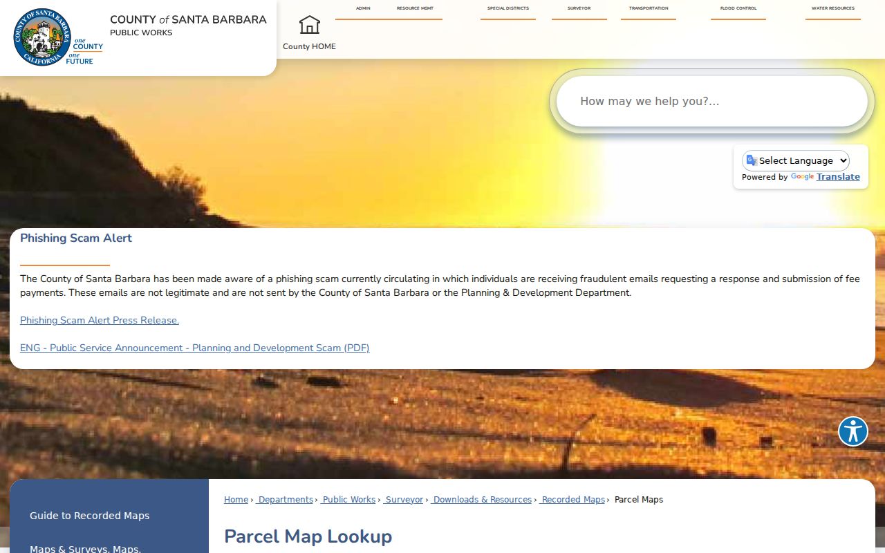
The image is a map reference, not a live resident list. It belongs at the parcel stage before a name or document search.
[RESEARCH GAP: The manifest has no successful assessor-interface, GIS-parcel-viewer, or recorder-index screenshot for this page. Use the linked official portals for current captures.]
Lompoc Records Searchable by Address
Several records can be keyed to a Lompoc address, but they reveal different things. The assessor and GIS identify land. The recorder links instruments to parties and legal descriptions. City permits show a project history. Historical directories and census schedules add past household clues. Voter files are not an ordinary public street search, and the recorder is not reliably indexed by modern street address.
| Address record | Keeper | What it shows | Access |
|---|---|---|---|
| Parcel detail | Santa Barbara County Assessor | Situs, APN, transfers, use, improvements, values | Free web search; no owner name online |
| Parcel and zoning map | City of Lompoc and county GIS | Boundary, zoning, plan designation, adjacent lots | Free interactive map |
| Recorded instruments | County Clerk-Recorder | Grantor, grantee, instrument type, date, legal clues | Free index; copies and certification listed separately |
| Permits and planning | Lompoc Building and Planning | Project, address, applicant, contractor, status | Citizen Self Service, counter, phone, email, or CPRA |
| Historical directory | Sahyun, library, or historical society | Subscriber, householder, trade or role, past address | Volume and shelf dependent |
| Voter file | California or county Elections | Restricted address-bearing registration data | Self status or qualified-purpose request only |
The useful link across current records is the APN or legal description, not just the street name. Keep a column for source, date, role, and confidence. That small discipline prevents a permit applicant, recorded buyer, or historical subscriber from becoming an unsupported claim about a current resident.
Note: An address-keyed source still needs a role label, because an applicant, recorded party, and subscriber are different clues.
Situs, Mailing, and Legal Address Roles
Three address terms can appear in a Lompoc property trail. The situs is the physical parcel location. A mailing address is where tax correspondence is sent and may be a PO box, agent, manager, or different property. A legal description identifies the land through subdivision, lot, block, map, or metes-and-bounds language. They can point to the same place, but they do not mean the same thing.
The assessor's public card displays situs and parcel facts but not owner or owner mailing address. Revenue and Taxation Code section 408 is the starting citation for asking the Assessor what ownership information may be inspected. Do not treat an omitted mailing address as proof that no one owns the property. Do not treat a homeowner exemption as conclusive proof of present occupancy.
- Parcel
- A mapped unit of land identified by an APN.
- Situs address
- The physical location assigned to the parcel.
- Plat or map
- A recorded or assessor map that helps tie a lot to a subdivision or block.
- Legal description
- The formal land description used in an instrument; it can remain useful when a street label changes.
- Criss-cross directory
- A reverse directory section arranged by street or householder, if the volume includes one.
When a street record uses a different number or spelling, compare the map, APN, legal description, and neighboring lots before deciding that two records describe different land. Address continuity is evidence to test, not a shortcut.
Lompoc Grantor and Grantee Trail
A grantor gives an interest in a recorded instrument. A grantee receives it. The recorder's advanced search can separate those roles, narrow recording dates, select document types, and search both names. The Advanced Grantor and Grantee Search supports required, excluded, sound-alike, starts-with, fuzzy, AND, OR, and phrase controls. Those tools matter when an old index splits initials, uses a trust name, or spells a surname in more than one way.
Start with an assessor transfer document number or a known APN. Find the acquisition instrument, record its buyer, seller, date, document number, and legal description. Then search the seller as a prior grantee with an end date before the current transfer. Confirm the same APN, subdivision, map, or legal description before stepping backward. A street-by-street chain requires that process for each parcel; a deed is not a ready-made street roster.
The county guide describes a historical split between 1931 to 1974 and post-1975 access, while the live portal states 1900 to current. Record which interface produced the result. For older books, ask the Clerk-Recorder archive or counter. Copies are listed at $10 per document, with certification at $2 per document, but the index itself is free to search.
Note: A recorded party is connected to an instrument, not automatically to present occupancy or every person at the situs.
Lompoc Permits as Address Evidence
The Lompoc Building Division uses Citizen Self Service for permit applications and submitted-work status. Building contact is 805-875-8220 at building@ci.lompoc.ca.us; inspections use 805-875-8231. The research lists phone and email availability Monday through Friday from 8:00 a.m. to 4:30 p.m., with in-person appointments Monday through Thursday from 9:00 a.m. to 4:00 p.m. The Friday counter is closed for staffing. Planning availability is listed as 9:00 a.m. to 5:00 p.m., excluding noon to 1:00 p.m.
A permit can date an addition, demolition, system change, or other project. It can also name an applicant, architect, contractor, or owner role. Those roles should remain distinct. If the online status is incomplete, ask the counter for the address, parcel, permit number, record type, and date range or make a focused CPRA request.
Permit history is especially useful when a historic address appears to change shape between a Sanborn map and a later directory. It is supporting evidence for a building timeline, not direct proof of who lived there.
Note: A permit date anchors work on a parcel, not a household's full period of residence.
Old Lompoc Streets in Reverse Directories
The historical street directory layer works best when a name is missing but an address is known. Sahyun's Santa Barbara County printed-directory umbrella runs from 1886 through 1991, with Lompoc coverage to be confirmed volume by volume. A reverse or householder section, when present, arranges street, house number, and occupant. The alphabetical half can then supply a trade or civic role, spouse notation, residence address, or widow notation.
The Lompoc Public Library catalog does not publish exact directory runs online, so ask the local-history desk for Lompoc city directories, reverse directories, telephone books, yearbooks, newspaper microfilm, and licensed genealogy databases. The Lompoc Valley Historical Society's newsletter and surname/place index can fill a gap with school, club, cemetery, property, or family references.
For a household trail, choose the closest year, search surname variants, record the page citation and abbreviation key, move one issue earlier or later, and pair the result with a decennial census. The historical shelf belongs to the Lompoc city directories collection page; the street directory uses it only for the address-to-household bridge.
Sanborn Maps and Lompoc Building Footprints
The Library of Congress links Lompoc Sanborn material for 1886, 1891, 1895, 1909, and 1921. A Sanborn sheet can show a structure's footprint, material, use context, and nearby layout. It cannot name every occupant. That makes it a strong date-and-building check beside a directory, deed, census, or permit.
Use the map to test whether an old address occupied the same lot, whether a building was enlarged, or whether a street corridor had a different built form. Compare the sheet's title, year, sheet number, street label, and lot context. Then cite the directory or official record that supplies the person or party evidence.
Historic map evidence is also useful when a modern street search feels too neat. A building can survive while its use changes, or a parcel can be redrawn in later maps. The map adds context without turning a footprint into a resident claim.
The Lompoc Voter-by-Street Search Does Not Exist
California's My Voter Status service is for the voter who authenticates with name, date of birth, and identity details. It returns status and election information for that person. It is not a public name, street, or ZIP directory. A full address-bearing voter file requires an election, scholarly, journalistic, political, or governmental purpose, a named requester, ID, a security certification, and compliance with Elections Code sections 2188 through 2194.
The state excludes driver-license and state-ID numbers, SSN fragments, unique identifiers, and signatures. Safe at Home and confidential voter rules provide further protection. Elections Code section 18109 penalizes unauthorized use. A Lompoc street directory therefore cannot fill its missing household names by implying that a public voter browse is available.
For personal research, use parcel, recorder, directory, census, newspaper, or library sources that actually match the question. If a qualified purpose exists, use the official California voter-file request instructions and the county elections channel. Do not use a CPRA request to bypass voter-specific limits.
Where the Lompoc Street Trail Stops
Address records do not create a complete household list. The assessor does not display owner or mailing address online. The recorder follows instruments, not every occupant. Permits identify project roles. Utilities are not a public customer roster, and personal DMV address data is restricted by the federal Driver's Privacy Protection Act. Protected addresses may be substituted or suppressed.
A street search should also stop short of inferring a person's current whereabouts from a dated deed or old directory. Use the least intrusive record that answers a lawful family-history, civic, property, or safety question. When an identity is uncertain, stop and seek a second anchor or ask the custodian how to verify the record.
Lawful use. Lompoc street and address records may support personal research, but stalking, harassment, intimidation, and harm are not legitimate uses. Verify every sensitive fact with the custodian and respect protected-address rules.
Note: Protected-address rules can change what a lawful search is allowed to retain or publish.
Burton Ranch and Lompoc Boundary Change
Burton Ranch Annexation No. 70 became effective May 31, 2007. Its specific plan took effect October 5, 2007, and was amended February 6, 2024. That concrete boundary history matters when a modern address appears outside an older city map. A record can carry a Lompoc postal label while the parcel belongs to a different jurisdictional layer.
Use the city GIS and county parcel map to identify the current boundary, then route permits, planning questions, and public-record requests to the custodian that actually holds the file. Do not infer a general street-renumbering event: the research found no verified citywide renumbering year. The 1874 street framework, map context, APN, and legal description are safer continuity clues.
This boundary check is the final safeguard in a Lompoc street directory search. It keeps a postal city, incorporated city, county parcel, base area, and historic map from being treated as interchangeable.