
Lompoc Neighbors Around One Address
A block lookup has several layers. GIS can show the target parcel and polygons that touch it. The assessor can show each APN's situs, transfer, improvements, and values, but not an owner name or mailing address on the public card. The recorder can be searched for instruments tied to each parcel. City permits can add a project history. Community pages can point to public organizations, but they do not establish a member list.
The block-lookup table keeps a neighbor result tied to its access rule and meaning.
| Source | What it shows about a block | Access |
|---|---|---|
| Assessor street result | Situs and APN sequence, parcel facts, transfer and improvement clues | Free; no owner or occupant name online |
| Lompoc GIS | Parcel polygons, zoning, plan designation, adjacent lots | Free map; inspect controls live |
| Recorder index | Ownership documents and parties, one parcel at a time | Name, date, map, and advanced searches; copies ordered separately |
| Building and Planning | Projects, permits, applicants, contractors, and status by address | Portal, counter, phone, email, or focused CPRA request |
| Voter file | Restricted address-bearing registration data | Self status or qualified-purpose request only |
| Civic organizations | Public contact for an organization or event | City list; no member roster established |
The table describes neighbors as a block context. It does not promise that every parcel has a public person name attached.
Note: A block source should be labeled by what it shows, because parcel facts, public organizations, and person records are not interchangeable.
Map Parcels Touching a Lompoc Address
Start with Lompoc Find My Zoning. Search the target address, zoom to the selected polygon, and inspect the parcels that touch it. Copy each visible APN or address, then open the linked county parcel information. The county Parcel Maps page provides map-number guidance for the next check.
The GIS result is land geography. A polygon can include a building, an open lot, a corridor, or a boundary edge. It does not list every household, and the selected parcel's zoning does not prove that a person lives there.
For a block, use a simple process flow: target address → parcel polygon → touching APNs → assessor facts → recorder or permit check. Keep the date, map view, and source link with the list. That makes the Lompoc neighbors trail repeatable.
[RESEARCH GAP: A stable screenshot of the interactive GIS parcel with adjacent neighbors visible was not captured. Search a real address in Find My Zoning and capture the selected polygon and touching parcels at use time.]
Lompoc APNs Before Neighbor Names
The safest block list starts with APNs. In the assessor, enter the house number, optional unit, and street name without St, Ave, or Blvd, then sort by street. Record each returned APN, situs, transfer date, document number, use, jurisdiction, acreage, year built, improvement facts, values, and exemptions. The public card does not show owner or owner mailing address.
Next, use the recorder document number or APN and search the relevant instrument. A neighbor's recorded party is an ownership-document clue, not a complete current household. If the parcel is outside the incorporated city, use county planning or GIS rather than routing every question to Lompoc departments.
APNs also make same-name control easier. Two people with the same surname can be separated by parcel, map, legal description, transfer date, or subdivision. A name-first neighbor list has none of that structure.
What Lompoc Parcel Cards Show and Hide
The assessor sample detail shows APN, situs address, transfer date, tax-rate area, recorder document number, transfer tax, use description, jurisdiction, acreage, assessor-map link, structure group, air conditioning, amenities, bedrooms, bathrooms, fireplaces, living square footage, year built, garage area, pool or spa fields when applicable, land and improvement values, exemptions, districts, and tax breakdown.
It does not show the owner name or owner mailing address on the public web card. Situs means where the parcel lies. A tax mailing address can be a different property, PO box, manager, or agent. A homeowner exemption may support an owner-occupancy hypothesis, but it is neither a resident roster nor conclusive proof.
- APN
- County parcel number that ties a mapped lot to the assessor record.
- Situs
- Physical parcel location, not proof of who occupies it.
- Adjacent parcel
- A polygon touching the selected boundary; it may be land without a household record.
- Mailing address
- Tax correspondence destination that may differ from the situs.
This boundary is the main safeguard in a Lompoc neighbors lookup. Report parcel facts as parcel facts, and stop when the source does not support a person's identity.
Note: An adjacent polygon may be vacant land or a corridor, so touching a parcel does not establish a nearby household.
Search Lompoc Deeds Parcel by Parcel
The county recorder indexes names, document types, document numbers, map book and page, and advanced grantor or grantee combinations. A modern street name is not a reliable deed key, so search each APN's acquisition document and legal description. Then work backward or forward through the party chain when the question concerns property history or previous owners.
The Advanced Recorder Search supports date windows, both names, grantor, grantee, document types, and syntax for required, excluded, sound-alike, starts-with, and fuzzy terms. The live portal states 1900-current, while county guides describe a 1931-1974 historical route and post-1975 path. Use the archive or counter for older books.
A deed can connect an address to a recorded party. It cannot list every neighbor, household member, utility customer, or person who was present on a date.
Permit Activity Around a Lompoc Block
Lompoc Building and Planning records can add an address-linked project layer. Citizen Self Service handles permit applications and submitted-work status. Building contact is 805-875-8220 and building@ci.lompoc.ca.us; inspections use 805-875-8231. The research lists phone and email availability Monday through Friday, 8:00 a.m. to 4:30 p.m., with in-person appointments Monday through Thursday, 9:00 a.m. to 4:00 p.m.; the Friday counter is closed for staffing.
For a block, record permit number, address, project type, applicant, contractor, owner role if stated, and status. A permit can date an addition or alteration, but an applicant or contractor is not automatically a current neighbor. When the portal does not expose an older file, make a narrow CPRA request with the address, APN, date range, and record category.
Community Organizations in Lompoc
The city's community information page lists public organizations and civic groups such as Lompoc Civic Theatre, Valley Art Association, AYSO, Bicycle Club, Botanic and Horticultural Society, Genealogical Society, Historical Society, Museum, Master Chorale, LOVARC, Spring Arts and Flower Festival Association, EAA Chapter 275, Healthy Lompoc Coalition, and Tsunami Aquatics. The page is an organization inventory, not a member directory or endorsement.
A public organization contact can help with neighborhood history, an event, or a family-history lead. It cannot supply a private roster unless the organization publishes one. The same rule applies to congregations, veteran posts, clubs, and block-watch groups.
| Public layer | Useful neighbor context | Boundary |
|---|---|---|
| City organization list | Group name and public contact | No member names established |
| Linda Vista HOA reference | Neighborhood organization appears in council minutes | No current public roster found |
| Neighborhood Watch minutes | Public-safety program formation context | Participant list treated as nonpublic |
| Historical Society | Local family, property, newsletter, and place clues | Use finding aids and appointment rules |
[RESEARCH GAP: The manifest has no successful screenshot of the city community-organizations page. Use the official link to confirm the current organization list and public-contact details.]
Note: A public group listing supplies an organization contact, not a private membership roster or neighbor identity.
Linda Vista HOA in Lompoc Records
Linda Vista Home Owners Association appears as a neighborhood organization in official council minutes. That reference is useful evidence that a named neighborhood group existed in the public civic record. It is not a current membership list, address roster, or permission to identify participants.
Use the council reference for historical context, then contact an organization only through a public channel and only with a lawful, respectful question. If the goal is a block map, GIS and parcel data are the appropriate first layer. If the goal is a past household, use directories, newspapers, census, maps, and recorded instruments.
The distinction protects both neighbors and the value of the source. A community label can explain geography without becoming a people list.
Voter Files and Lompoc Block Visibility
California does not offer an ordinary public voter-by-street browse. My Voter Status is an authenticated self-lookup. An address-bearing voter file requires a qualified election, scholarly, journalistic, political, or governmental purpose, requester identity, ID, selected data, and a security certification. Elections Code sections 2188 through 2194 restrict the file, and section 18109 penalizes unauthorized use.
Confidential voter registrations, Safe at Home participants, selected public officials, driver-license data, SSN fragments, unique identifiers, and signatures receive additional protection. A block lookup cannot fill its APN list with implied voter names. Use the official California voter-file request instructions only when the purpose and eligibility fit.
“Inactive” does not prove that a person left. A registered status does not prove present occupancy. These are administrative facts with their own update cycle.
Public Safety Tools Near Lompoc Neighbors
Some public safety tools are purpose-specific rather than ordinary neighbor directories. The California Megan's Law service provides a public registrant search and map with legal-use warnings. The Santa Barbara County Sheriff custody page routes to current custody information. The California Department of Corrections and Rehabilitation has a separate inmate locator for state prison.
The California Megan's Law image below is linked to the official registry. Open the California public-safety search and follow its use warnings.
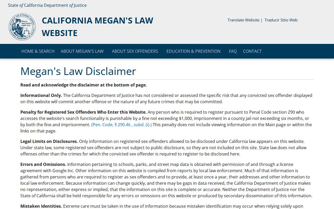
The registry is a statutory public-safety tool, not proof about every person at an address. Protected victim and juvenile information remains restricted.
The county custody image is linked to the Sheriff's operations page. Review Santa Barbara County custody access for the current route.
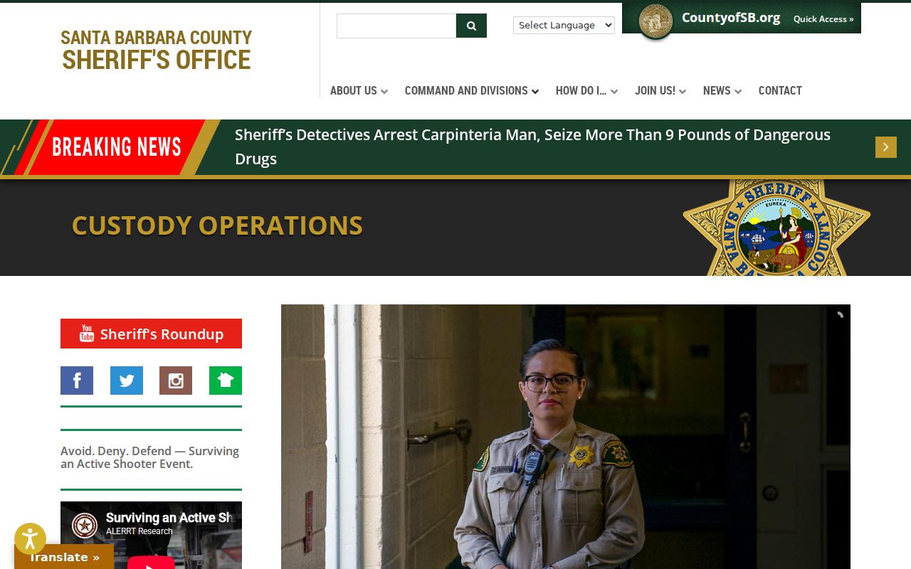
Custody status is dynamic and limited to the releasing agency's fields. It is not a block roster or a complete history.
Where a Lompoc Neighbor Trail Stops
A Lompoc neighbors search cannot show every occupant, private utility customer, protected voter, DMV address, or private association member. The assessor omits owner and mailing address on the public card. The recorder follows documents, not all household members. A public address polygon is land evidence, not a permission slip to identify everyone near it.
Use the least intrusive source that answers the question. For a property or civic question, use parcel, zoning, permit, and public organization material. For historical research, use directories, census, newspapers, maps, and the Historical Society. For a privacy concern, use official California rights and confidentiality programs.
Lawful use. Never use a neighbor lookup to stalk, harass, intimidate, or harm a person. Stop when a source is protected, a match is uncertain, or the intended use is not lawful and respectful.
California Privacy Tools for Lompoc Neighbors
California's CCPA guidance describes rights to know, delete, correct, opt out of sale or sharing, limit certain sensitive-information uses, and avoid discriminatory treatment. The Delete Act's DROP platform opened January 1, 2026; the research states that registered brokers began recurring deletion processing August 1, 2026, at least every 45 days. These tools address private republication, not the county's original record.
The California DROP service image below is linked to the official request platform. Read CCPA guidance for access, deletion, correction, and opt-out details.
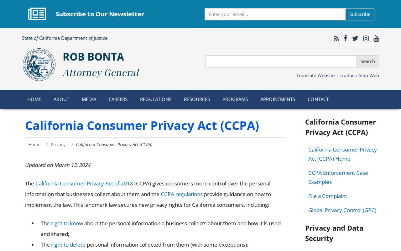
A deletion request does not amend a deed, court register, assessor card, or vital record. Contact the custodian for a correction to an official source.
Note: California privacy tools address private data handling, while the original county or court record remains with its custodian.
Build a Safer Lompoc Neighbors Trail
A careful neighbor lookup ends with a mapped block and a record of limits. Begin with the address, confirm ZIP and jurisdiction, list APNs, inspect parcel facts, and choose a source that fits the question. Stop before a parcel fact becomes a person claim without a second, lawful anchor.
| Stage | Evidence to keep |
|---|---|
| Address | Full string, USPS result, postal city, date checked |
| Map | Selected polygon, touching APNs, jurisdiction and zoning |
| Parcel | APN, situs, transfer, improvement and value facts |
| Record | Document, permit, directory, or public organization citation |
| Limit | What the source does not show and why the search stops |
The full named-street chain belongs in the Lompoc by-street directory. The neighbor layer stays close to one block, one polygon, and one lawful question.